Upper Hunza · Gojal · Trekking & Hiking
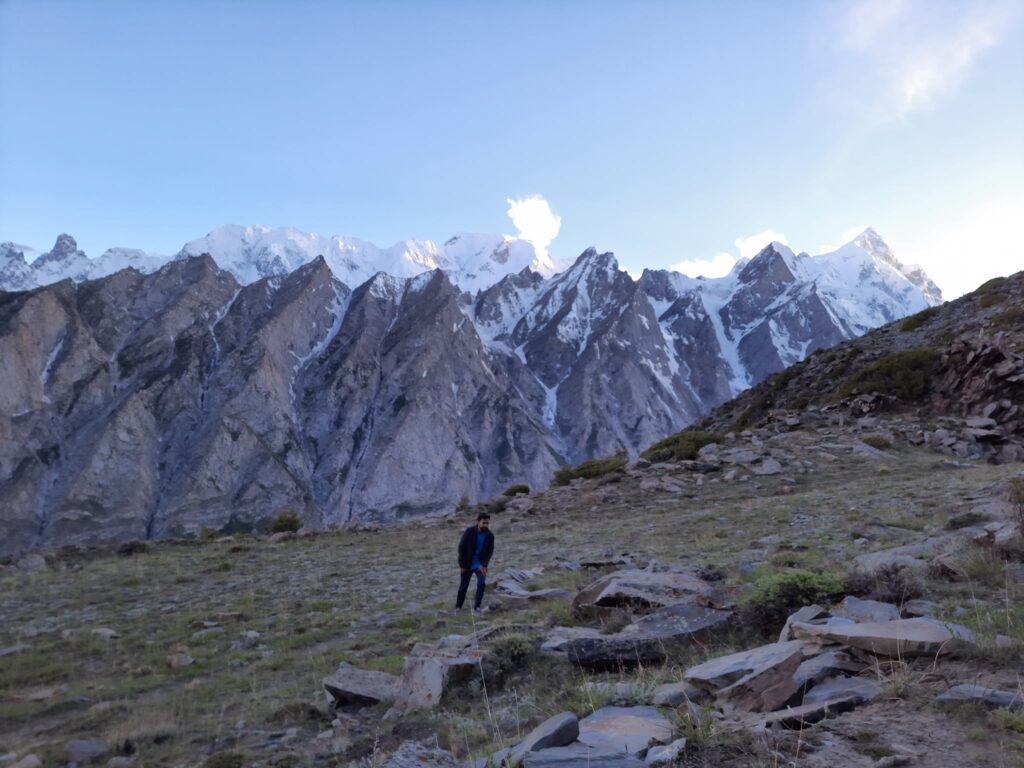
The Patundas trek climbs from Borith Lake towards a high pasture above the Passu and Batura glacier valleys in Pakistan’s Karakoram. Patundas is a pasture belonging to Ghulkin village: a seasonal grazing landscape with shepherd shelters, rather than a mountain summit or a developed campsite. Reaching it involves a Passu Glacier crossing, a steep climb from Luzhdar and time above 4,000 metres.
This guide follows the Borith–Passugar–Luzhdar approach used in Crossroads Adventure’s Patundas expedition planning. It also explains how to add a separate day hiking from Ghulkin to Borith via Ghulkin Glacier, commonly called the Black Glacier. These are two different glacier crossings: the optional extension crosses Ghulkin Glacier; the usual Patundas approach crosses Passu Glacier.
Planning note: elevations and walking times below are approximate. Glacier entry and exit points, camp positions, snow cover and usable paths change. Confirm the actual route, water availability and sleeping itinerary with a local guide shortly before departure; a written description or an old GPS track cannot establish a safe glacier crossing.
Patundas trek at a glance
| Question | Practical answer |
|---|---|
| Where is Patundas? | Gojal, Upper Hunza, Gilgit-Baltistan, Pakistan; the pasture belongs to Ghulkin village. |
| Pasture elevation | Usual camping altitude: approximately 4,200 m. Maximum elevation at the upper endpoint: approximately 4,600 m. |
| Usual approach | Borith Lake → Passugar / Passu Gar → Passu Glacier → Luzhdar / Luzdur → Patundas. |
| Starting elevation | Borith Lake area, approximately 2,600 m. |
| Duration on the trail | Allow 4–5 trekking days for a locally agreed camping itinerary; the five-day example below includes an acclimatisation day and visits the pasture from a lower sleeping camp. |
| Extra Ghulkin day | Add one full day for Ghulkin village → Black Glacier → Borith. Allow further time for transfers and weather. |
| Daily effort | Usually several hours of walking; allow 6–8 hours for the demanding Luzhdar–Patundas return day, depending on pace and conditions. |
| Difficulty | Moderate to challenging mountain trekking: steep ascent, loose ground, glacier travel and altitude. A short total distance does not make it an easy walk. |
| Usual season | Mid-June to September, subject to snow and glacier conditions. July–August normally offer the broadest summer planning window. |
| Accommodation | Pre-arranged lodging or camping around Borith; expedition camping on the trek. No dependable staffed lodges at the upper camps. |
| Guide | A local guide with recent knowledge of the specific glacier crossings and Patundas approach is essential. |
Distance: do not book on the basis of a single kilometre figure. Different published tracks begin at different roadheads, use different glacier crossings and include different ridge walks. Ask for the current guide’s stage distances and track for the exact itinerary you are booking. The key measurable climb is from approximately 3,400 m at Luzhdar to approximately 4,170–4,200 m at the pasture: around 770–800 m of net ascent, before any additional viewpoint walking.
Where Patundas sits—and why Ghulkin matters
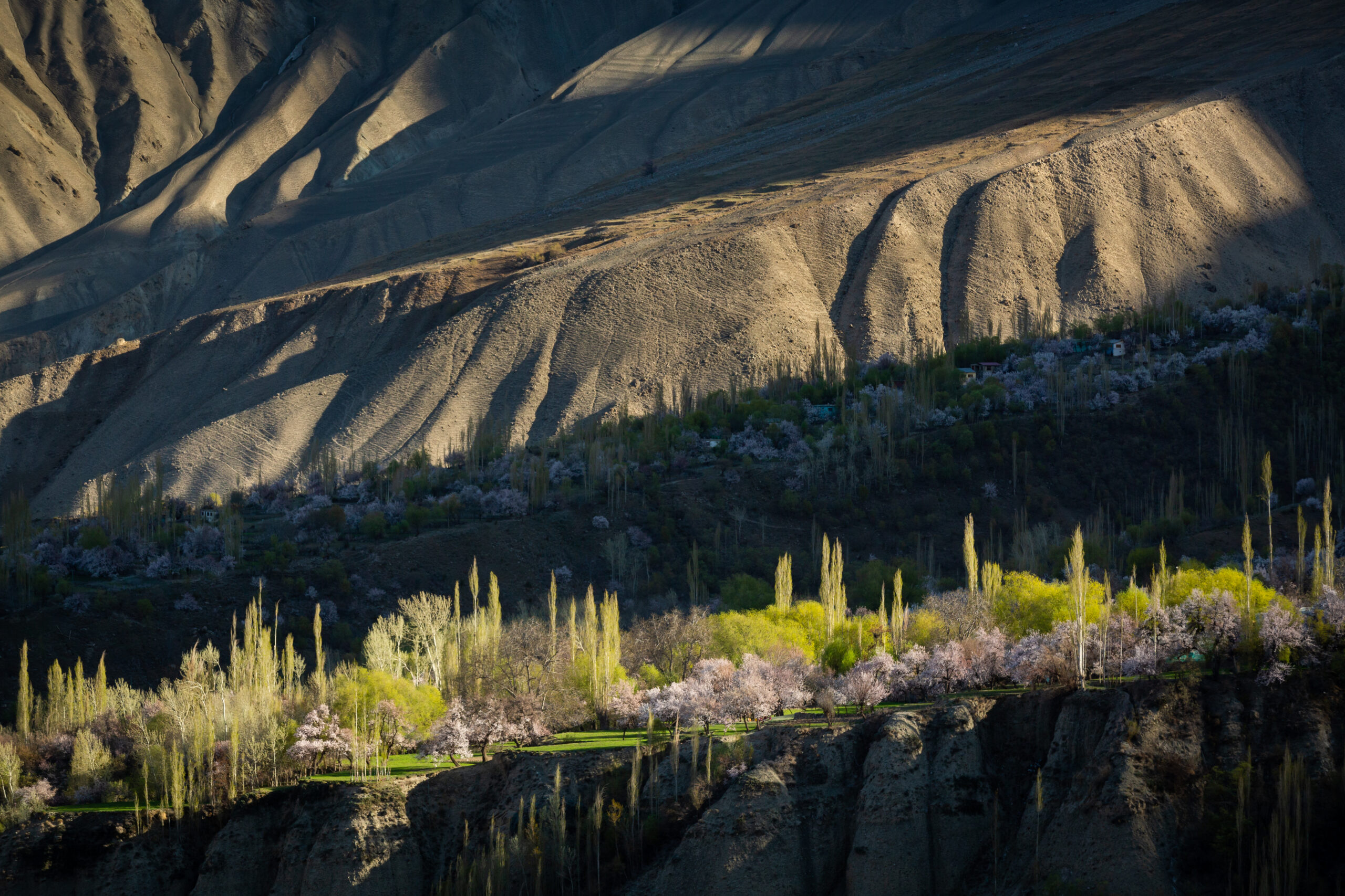
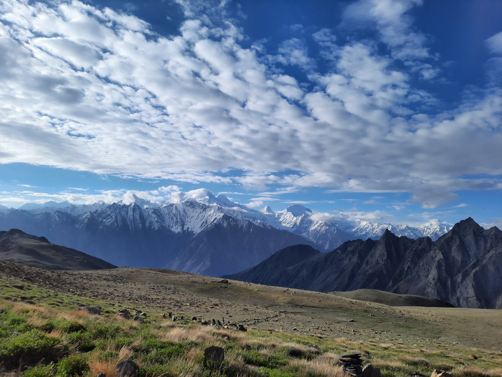
Patundas occupies high grazing ground between the Passu and Batura glacier systems. The upper landscape opens onto glacier valleys and Karakoram ridgelines; the panorama depends on where you stand and how much cloud covers the mountains. Seeing Batura Glacier from the pasture does not mean that the standard approach crosses Batura Glacier.
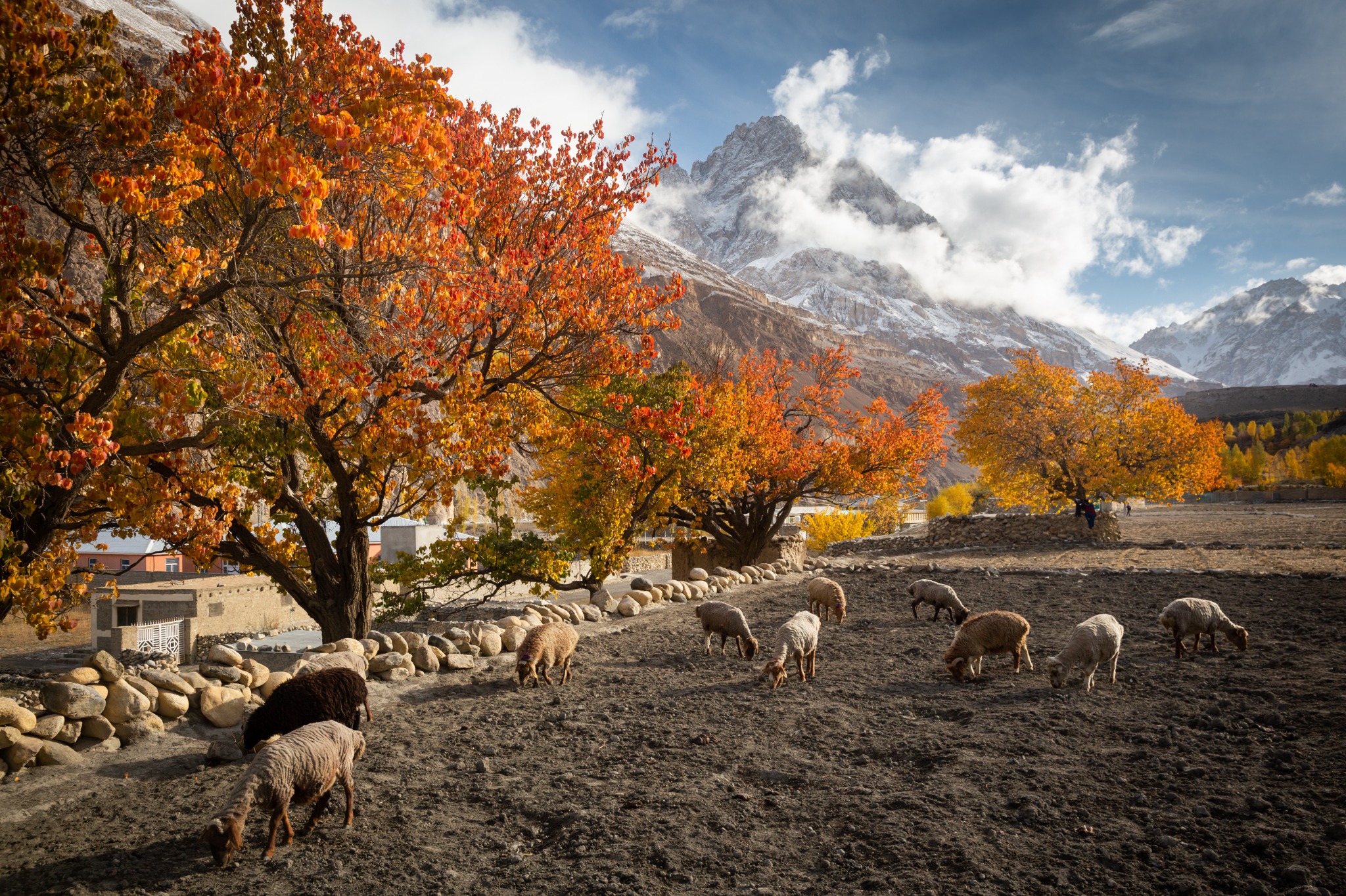
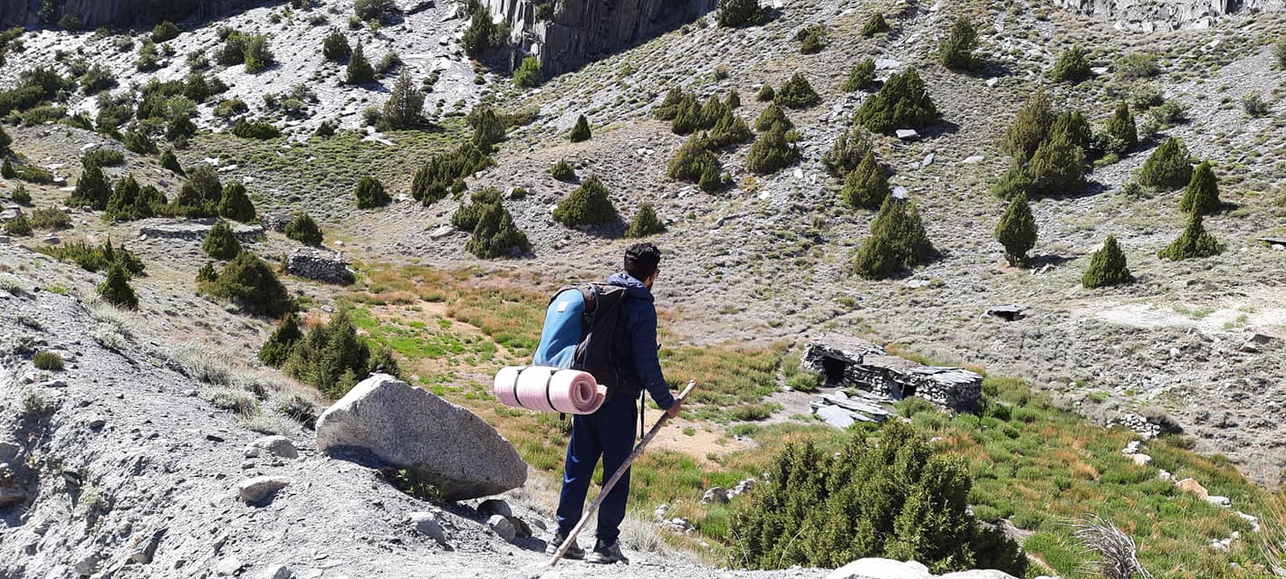
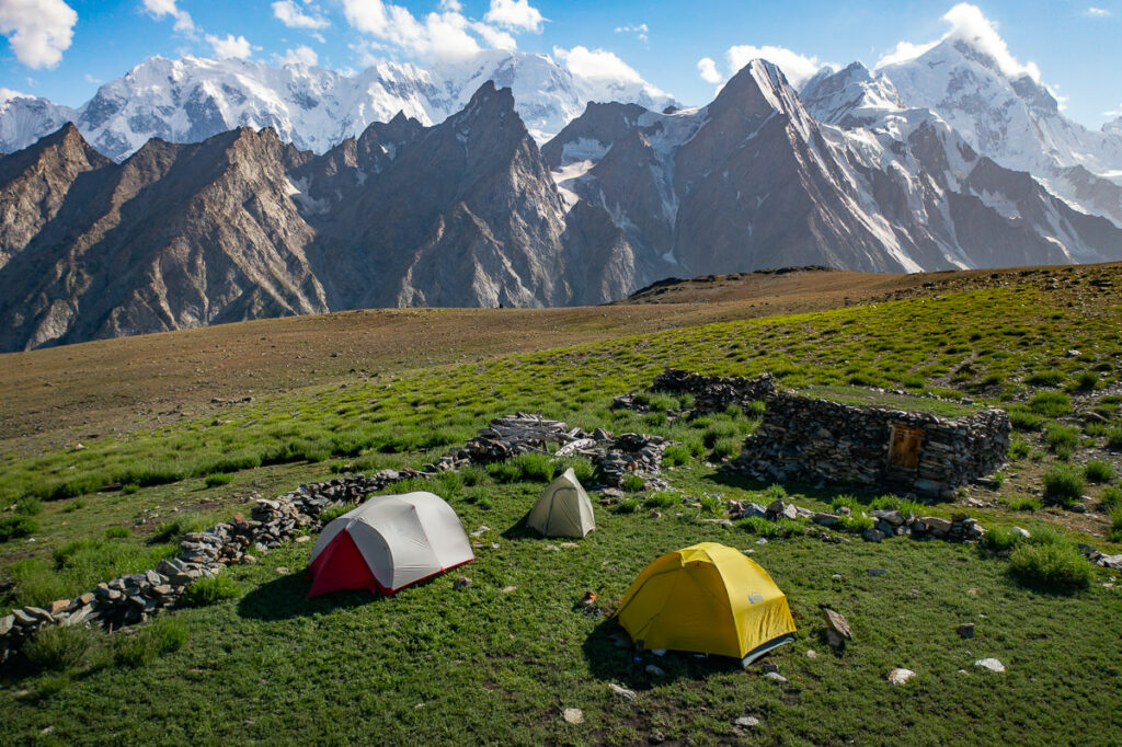
Ghulkin is a Wakhi village in Gojal. Its connection to Patundas is through ownership and seasonal use of the pasture. Respect occupied shelters, grazing animals and local decisions about camping. Ask before entering a hut or photographing residents. Seasonal shepherd activity is possible, but a meeting with a family should never be promised as a guaranteed attraction.
Names vary between maps and itinerary documents: Borith / Borit, Passugar / Passu Gar, Luzhdar / Luzdur and Patundas / Patundass may refer to the same relevant locations. Check the intended camp on a map with the guide instead of assuming spelling differences indicate separate destinations.
Getting to the Patundas trailhead at Borith Lake
The approach is through Upper Hunza on the Karakoram Highway. Gulmit, Ghulkin, Hussaini, Borith and Passu form the relevant local planning area. Borith is reached by a side road from the highway near Hussaini; it is above the highway, rather than directly on it. Arrange a vehicle to the agreed trailhead and confirm whether it can reach your accommodation or baggage drop.
- Reach Gilgit or Hunza. If flying to Gilgit, keep a road alternative and a buffer day because mountain flights can be disrupted. If arriving overland from Islamabad, allow a multi-day journey with overnight stops rather than scheduling a glacier trek immediately after a long drive.
- Stay in Upper Hunza before the trek. Gulmit, Ghulkin, Passu or Borith can support the final preparation, depending on your itinerary. Spend time walking at valley elevations and assess how you feel before moving to higher camps.
- Meet the guide and check equipment. Review the glacier route, camp sequence, weather, porter loads, drinking-water plan and evacuation arrangements before leaving the road.
- Transfer to Borith. Leave non-trekking luggage in secure, agreed storage. Your return vehicle should meet you at the actual exit point, which can change if conditions require a route adjustment.
Road travel times are affected by highway work, landslides and the condition of the Borith access road. Request a dated transfer plan from your operator instead of treating a map-app driving time as a dependable connection. For the additional Ghulkin day, send overnight bags by road to Borith; carrying all your travel luggage across the Black Glacier adds unnecessary weight and complicates the crossing.
Patundas trek route: what happens on each stage
1. Borith Lake to Passugar / Passu Gar
From the Borith area, the approach leads towards the Passu Glacier side of the mountain landscape. Crossroads’ expedition outline allows approximately 3–4 hours for this first trekking stage, ending at a lower camp in the glacier-side ablation valley. Passugar is a camp-area name, not a staffed campsite with a fixed reception point.
Expect a combination of mountain paths, stony ground and moraine terrain. Start with an easy pace, especially after road travel. Confirm the camp’s actual elevation—often described around 3,000–3,200 m—and its water source before departure; the chosen site may move with local conditions.
2. Passugar across Passu Glacier to Luzhdar
The next stage crosses Passu Glacier, often called the White Glacier, then reaches the Luzhdar camp area at approximately 3,400 m. Budget roughly 4–6 hours as a working itinerary allowance, not a measured crossing time. Finding a suitable line onto and off the ice can take longer than the crossing itself.
The local guide selects the line according to the current glacier surface, streams, crevasses and access slopes. Loose moraine and unstable rock can be as troublesome as exposed ice. Do not separate from the group to take photographs or follow another party’s line independently. A track recorded in a previous season is background information, not proof that the same passage remains usable.
3. Luzhdar to Patundas pasture
Above Luzhdar, the main challenge becomes a sustained steep climb to the pasture. Allow approximately 3–4 hours uphill and 2–3 hours downhill as planning estimates, plus breaks and time on the meadow. Thin air can make the ascent feel substantially harder than a comparable climb near sea level.
The usual Patundas campsite is around 4,200 m; the upper endpoint reaches around 4,600 m. Continuing from the campsite to the endpoint adds approximately 400 m of net ascent, plus the return descent. Agree the additional walking time and turnaround with the guide according to the group’s pace and conditions. The 4,600 m maximum should not be confused with the normal camping altitude. The five-day example below visits the pasture; reaching the upper endpoint is an additional objective to arrange explicitly.
4. Return route and alternative exits
The most straightforward planning assumption is to return through Luzhdar and recross Passu Glacier on a line approved for that day. Some expedition outlines describe a descent towards Yunzben and Passu. Treat that as a separate route option requiring current local confirmation, not an automatic shortcut or a guaranteed loop. A guide may reject an exit because of unstable terrain, glacier access or weather.
A five-day Patundas trekking itinerary
This example is designed around a pasture visit from a lower camp. It avoids automatically moving the sleeping camp from 3,400 m to about 4,200 m in one day. It still requires prior acclimatisation, a symptom check each day and a guide’s assessment of the route. Add travel days before and after; these five days begin at Borith, not Islamabad.
| Day | Route and purpose | Walking allowance | Overnight |
|---|---|---|---|
| Before Day 1 | Arrive in Upper Hunza, walk gently, meet the guide and check kit. Extend the stay if altitude symptoms or travel fatigue require it. | Easy local walking | Valley accommodation / Borith, around 2,600 m depending on the property |
| 1 | Borith to Passugar; controlled first ascent, camp setup and water check. | 3–4 hours | Guide-selected lower camp, approximately 3,000–3,200 m |
| 2 | Cross Passu Glacier to Luzhdar. The guide determines the crossing line and start time. | 4–6 hours; longer if access requires it | Luzhdar, approximately 3,400 m |
| 3 | Acclimatisation day around Luzhdar. A gentle, locally suitable walk if well; no fixed elevation target and no pressure to ascend. | 0–4 hours depending on health and conditions | Luzhdar, approximately 3,400 m |
| 4 | Early ascent to Patundas, meadow time and descent to Luzhdar. Agree the turnaround time before departure. | 6–8 hours overall | Luzhdar, approximately 3,400 m |
| 5 | Return across Passu Glacier towards Borith; meet the vehicle and recover at valley accommodation. | 5–7 hours as a planning allowance | Borith / Upper Hunza |
These are route-planning estimates, not guaranteed daily timings. A slower party, snow on the upper slope, difficult glacier access or an unsuitable camp can change the schedule. Keep a spare day beyond the walking programme and avoid a same-day flight connection after leaving the trail.
Can you camp overnight at Patundas?
Yes, an overnight pasture camp can form part of an appropriately planned expedition. Camping normally takes place at approximately 4,200 m, below the upper endpoint at around 4,600 m. It offers evening and morning time in the upper landscape, but requires carrying shelter, food, fuel and a confirmed water supply to the campsite. Wind exposure and freezing nights make the equipment requirements different from camping beside Borith Lake.
The sleeping-height jump from Luzhdar is around 770–800 m. That is greater than the usual recommended daily sleeping gain above 2,750 m. One rest day does not automatically make it appropriate for every trekker. Discuss prior altitude exposure and a longer acclimatisation programme; if unsuitable, retain the lower-camp day visit. An additional meadow night can extend the itinerary, but it must be chosen for health and conditions, not simply added to satisfy a fixed schedule.
Add one day: Ghulkin village to Borith via the Black Glacier
The Ghulkin Glacier trek is a useful lower-altitude extension before the main Patundas trek. Start in Ghulkin village, cross the debris-covered glacier on a locally selected route and finish at Borith Lake. “Black Glacier” describes its dark, rock-covered appearance; the debris does not turn it into ordinary solid ground.
The Pakistan Tourism Development Corporation lists a Black / Ghulkin Glacier to Borith outing, including Passu Glacier, as a medium walk of approximately 4–5 hours. Use that as an allowance for the broader outing, not an exact duration for every Ghulkin–Borith crossing. Village walking, the current ice crossing, breaks and a possible onward viewpoint determine the actual day.
- Morning in Ghulkin. Meet a guide who knows the current Black Glacier access points. Confirm the finish at Borith and whether the programme includes a separate Passu Glacier viewpoint.
- Village approach. Walk through permitted paths and towards the glacier. Stay off cultivated terraces and follow the guide’s chosen approach; farm channels and private land are not shortcuts.
- Glacier crossing. Move as a group over the selected line. Hidden ice, loose stones, meltwater and changing crevasses require attention even where the surface appears dry and dark.
- Exit towards Borith. Continue on the locally confirmed path to the lake area. Eat, refill treated water and settle into pre-booked accommodation or camp.
- Optional additional viewpoint. Continue towards a Passu Glacier viewpoint only if time, energy and the guide’s assessment allow. Do not confuse this with the higher Passu Glacier crossing on the Patundas approach.
How to combine the routes: preparation in Upper Hunza → Ghulkin–Black Glacier–Borith day → overnight at Borith → main Patundas itinerary. This adds one walking day, so the five-day example becomes six trekking days, excluding travel and contingency time. The lower glacier walk helps with pacing and equipment checks; it does not replace acclimatisation for sleeping near 4,200 m.
The Mountain Areas Conservancy Project’s Ghulkin–Gulmit community brochure provides useful background on the village and glacier walks. Its historical fees and map are not current booking prices or navigation instructions.
Best time for the Patundas trek, temperatures and weather
Mid-June through September is the usual planning season. July and August are generally the most practical months for a summer camping itinerary, while the beginning and end of the season demand more caution about residual snow, early snowfall and cold nights. Accessibility must be checked for the actual week, not inferred from the calendar.
| Period | Planning implications |
|---|---|
| May–early June | Upper slopes can retain snow. Do not assume the pasture is accessible because village roads are open. |
| Mid–late June | Possible early-season departures after local checks; snow patches and freezing high nights remain relevant. |
| July–August | Broadest usual summer window. Strong sunshine, afternoon weather changes and meltwater still affect glacier decisions. |
| September | Colder nights and shorter daylight; early snow can alter the route. Earlier September usually gives more scheduling flexibility than late September. |
| October–winter | Outside the usual trekking season. This guide is not a winter expedition plan. |
How cold does Patundas get?
The following temperatures are conservative equipment-planning estimates for summer, not measured Patundas weather-station averages or a forecast. Valley sunshine and exposed upper-camp conditions can feel very different on the same day.
| Location | Approximate daytime planning range | Approximate overnight planning range |
|---|---|---|
| Borith / Upper Hunza valley, around 2,600 m | 15–28°C | 5–12°C |
| Luzhdar camp, around 3,400 m | 8–18°C | 0–6°C |
| Patundas pasture, around 4,170–4,200 m | 5–15°C | −5 to +5°C |
Cold spells and early or late-season nights can drop below these ranges; plan for the possibility of approximately −8°C or colder at the high camp. Wind can make conditions feel much colder. Bring a sleeping bag with a comfort rating around −10°C for an upper-camp itinerary, an insulated mat and dry layers; choose warmer equipment if the forecast, season or your own cold tolerance requires it. An “extreme” sleeping-bag rating is not a comfortable sleeping temperature.
Check the forecast at an elevation close to the planned camp, then obtain the local guide’s latest snow and glacier assessment. A sunny forecast for Gulmit is insufficient for a ridge camp. Carry waterproof layers even in summer, protect against intense UV and allow weather to change the departure or turnaround decision. Compare other routes in our Pakistan hiking seasons guide.
Altitude, glacier travel and emergency planning
Acclimatisation: use sleeping altitude to plan the trek
Altitude illness can occur above about 2,450 m. The CDC’s high-altitude travel guidance recommends gradual ascent, time at moderate altitude before going higher, and limiting increases in sleeping altitude above approximately 2,750 m to around 500 m per day, with additional acclimatisation time for roughly every 1,000 m gained.
Headache with nausea, unusual fatigue or appetite loss after ascent warrants attention. Tell the guide and do not move to a higher sleeping camp while symptoms persist. Worsening symptoms despite rest require descent. Confusion, poor coordination or breathlessness at rest demand urgent descent and medical help. Fitness does not remove altitude risk. Discuss existing medical conditions and any altitude medication with a clinician before travelling.
What the guide needs to assess on the glaciers
- Entry and exit slopes: these can change as the glacier surface lowers or shifts.
- Crevasses and unstable cover: rock or snow can conceal weak ground and ice openings.
- Meltwater: streams and channels may be harder to cross later in the day or after warm weather.
- Rockfall and loose moraine: avoid stopping beneath unstable banks for photographs.
- Equipment: the guide must decide whether current conditions require traction, ropes or other equipment and whether the group has the skill to use it. The label “non-technical trek” is not a substitute for that assessment.
Cross the glaciers only with a competent local guide. Do not step onto the glacier alone from a viewpoint. Turn back if the safe line cannot be established, visibility is inadequate or the group cannot manage the terrain.
Communication and evacuation
Do not depend on mobile coverage at the camps. Ask what emergency communication the team actually carries, who monitors messages and how it is powered. Your emergency contact should have the itinerary, expected check-in schedule and operator details.
Discuss a realistic evacuation plan before booking: descent may involve difficult ground and a glacier crossing, and a sick trekker may require substantial help. Helicopter rescue cannot be assumed to be immediately available. Buy insurance that explicitly covers trekking to your maximum planned altitude, glacier travel where applicable, medical evacuation and the activities you intend to undertake. Obtain confirmation from the insurer rather than relying on a policy’s general “adventure” label.
Patundas packing list: equipment that serves the route
| Item | Why it matters here |
|---|---|
| Broken-in trekking boots with a gripping sole | Loose moraine, uneven rock and steep descents; footwear must suit the guide’s glacier assessment. |
| Trekking poles | Balance and load management on the Luzhdar ascent and descent; use them as directed on ice. |
| Waterproof jacket and trousers | Wind, rain and summer snow exposure at the upper slopes. |
| Insulating jacket, fleece, base layers | Cold camp evenings; keep a separate dry sleeping layer. |
| Warm hat, gloves and spare socks | Freezing nights and wind; spare dry socks help after wet ground. |
| Sunhat, high-protection sunscreen, UV sunglasses | Strong high-altitude sunshine and reflection from ice and snow. |
| Sleeping bag and insulated mat | Discuss a comfort rating around −10°C for the high camp; insulation underneath is essential. |
| Weatherproof tent and secure pitching system | No guaranteed indoor accommodation; upper camps can be windy. |
| Headlamp and spare power | Early starts, camp use and delays after sunset. |
| Water capacity of roughly 2–3 litres, plus treatment | Agree the actual daily carry and refill points; water may need to be brought to the pasture. |
| Personal medicines, blister care and hygiene kit | Remote camps and multi-day walking. Keep essential medication in your daypack. |
| Dry bags / pack liner and compact waste bag | Protect sleeping kit and carry all personal waste out. |
| Guide-approved glacier equipment | Condition-dependent; confirm what is supplied, how it fits and who is trained to use it. |
Ask for separate lists of operator-supplied and personal equipment. A tent inclusion does not necessarily include a sleeping bag, mat, personal waterproofs or glacier equipment. Agree porter loads and pack essential layers, medication, water and snacks in your daypack rather than in baggage that may arrive later.
Water, meals and toilets
Water supply is a logistical decision, especially at the upper pasture. Snowmelt and small sources can be seasonal; there is no dependable shop or bottled-water supply above the road. Confirm whether the crew collects and treats water at camp or carries it uphill. Treat drinking water according to your chosen system, including water used for brushing teeth. Clear glacier water is not automatically safe, and Borith Lake should not be treated as a ready drinking-water source.
Agree the full trekking-day food plan, including breakfast before departure, carried lunch, dinner, hot drinks, snacks and dietary requirements. Meals on trekking days are included only when specified in your quotation. Meals during road transfers and ordinary hotel stays should be budgeted separately unless explicitly included. Tell the operator about allergies before supplies leave the village.
Do not expect fixed toilets or showers at the camps. Ask about a toilet tent and the crew’s waste-management arrangement. Use the guide’s designated location away from water and camp, and pack out wipes, sanitary products and other non-biodegradable waste. Use a stove rather than cutting juniper or collecting scarce woody vegetation for fires.
Patundas trek costs, permissions and practical booking questions
A meaningful price depends on group size, trekking days, porter loads, the overnight plan, transport and whether the Black Glacier extension is included. An undated “per person” rate without those details is not a useful budgeting figure. Request a written, itemised quotation for your exact programme.
- People: guide, porters, cook and any additional glacier support; specify numbers and porter load limits.
- Camp: tents, sleeping mats, sleeping bags if supplied, kitchen equipment, fuel and toilet arrangements.
- Food and water: exactly which trekking-day meals, snacks and treatment provisions are included.
- Transport: road transfers, luggage movement, trailhead drop-off and exit pickup; domestic flights are a separate item unless quoted.
- Local arrangements: camping consent, applicable village or access charges and required permissions, with responsibility for arranging them.
- Extra time: the Ghulkin extension, weather days, additional acclimatisation and route changes; ask how each is charged.
- Exclusions: personal equipment, insurance, gratuities, non-included meals and emergency evacuation costs.
- Changes: cancellation terms and what happens if the glacier crossing or high camp is unsuitable.
Confirm current access and any administrative requirements with your operator and the Gilgit-Baltistan Tourism Department. Do not interpret a visitor visa as blanket permission for every mountain activity or assume that an old brochure’s community charges remain valid. International travellers can start with our Pakistan visa planning guide.
Send these details when requesting your itinerary
Provide your preferred dates, group size, recent multi-day trekking experience, highest recent sleeping altitude, desired pasture day visit or overnight camp, dietary needs and whether you want the Ghulkin–Borith glacier day. Ask for the actual camp elevations, current glacier assessment, water plan, contingency days and itemised inclusions. Those answers matter more than a general difficulty label.
Plan a Patundas trekking experience with Crossroads Adventure → Mention “Patundas + Ghulkin Black Glacier” if you want both routes assessed and included in the proposed programme.
Patundas trek FAQs
How high is Patundas?
Camping normally takes place at approximately 4,200 m. The maximum elevation at the upper endpoint is around 4,600 m. Confirm whether your itinerary includes the campsite/pasture only or continues to the upper endpoint.
Is Patundas a summit?
No. Patundas is a high pasture belonging to Ghulkin village. Higher viewpoints can be additional objectives, but reaching the pasture is not a mountaineering summit climb.
How many days are needed?
Allow around 4–5 trekking days for a guide-agreed programme, plus prior acclimatisation, travel and a contingency day. The five-day example here includes a Luzhdar acclimatisation day and a pasture day visit. Add one day for Ghulkin Glacier to Borith.
Which glacier do you cross on the Patundas trek?
The usual Borith–Passugar–Luzhdar approach crosses Passu Glacier. The optional Ghulkin–Borith extension crosses Ghulkin Black Glacier. Views of Batura Glacier do not mean the standard trek crosses Batura.
Can beginners do the Patundas trek?
It is unsuitable as a casual first walk. A fit newcomer with preparation, prior acclimatisation, appropriate support and a flexible itinerary may be considered by a guide. Anyone uncomfortable with loose ground, long descents or glacier travel should first choose an easier valley walk.
Can I trek Patundas independently?
A local guide is essential for the glacier crossings and route assessment. Navigation apps and old GPS tracks cannot identify the current safe line through changing ice and moraine.
Can I visit Patundas without sleeping at 4,200 m?
A guided day ascent from Luzhdar with a return to the lower camp is an option, as shown above. It is a long, steep day and still requires acclimatisation, suitable weather and an agreed turnaround time.
What temperatures should I prepare for?
Prepare for freezing nights at the pasture even in summer, with roughly −5 to +5°C as an upper-camp planning range and colder conditions possible. Use the dated forecast and guide’s assessment to select equipment; these figures are not station averages.
Are huts, meals or phone coverage available?
Do not rely on staffed huts, food shops or mobile service at the upper camps. Arrange tents, food, treated water and emergency communication before starting.
Can Ghulkin Glacier be added to the trek?
Yes. Add a separate guided day from Ghulkin village across the Black Glacier to Borith, then begin the main Patundas approach from Borith. Transfer overnight luggage by road and agree any additional Passu viewpoint separately.
Related guides for planning Upper Hunza trekking
- Short treks in Hunza and Nagar: compare other routes
- Shimshal Valley trekking guide
- Pakistan glaciers and responsible mountain travel
- Pakistan trekking guide: major routes and planning
Sources and route notes
Route sequence and approximate camp elevations are based on Crossroads Adventure’s Patundas Gojal Trekking Expedition outline, supplemented by Ghulkin village context supplied by our team. The itinerary above is a planning example, not a confirmation of current trail conditions. Authentic photographs are from Crossroads Adventure’s Patundas collection.
- Pakistan Tourism Development Corporation trekking brochure — Ghulkin / Black Glacier to Borith outing.
- Mountain Areas Conservancy Project: Ghulkin–Gulmit — community background and glacier-walking context; historical publication.
- CDC: Travel to High Altitudes — acclimatisation and altitude illness guidance.
Guide prepared October 2026. Seasonal access, prices and permissions require a fresh check before travel. Temperature ranges and several stage timings are labelled planning estimates; they are not surveyed route measurements or a weather forecast.