Crossroads field guides · Geography · River journeys
Pakistan’s rivers connect the glaciers of the north with irrigated plains and the Arabian Sea. Knowing which river runs through a valley helps make sense of a journey: Hunza is not the Indus, Lahore’s river is the Ravi, and the five rivers of historical Punjab do not all flow through modern Pakistan.
By Sultan Uddin · Crossroads Adventure · Editorial review: 4 October 2026
Understanding the river system
The Indus is the main geographical thread. Tributaries, canals, reservoirs and floodplains form a connected water system, rather than a collection of isolated scenic waterways. Mountain rivers can change from relatively quiet winter channels to powerful summer flows, while lower plains are shaped by irrigation and floods.
For a visitor, the useful questions are where the road follows a river, where tributaries join and whether a viewpoint is safely accessible. A river’s colour is not a measure of drinking-water quality. Snowmelt, sediment, rainfall and human activity all influence its appearance.
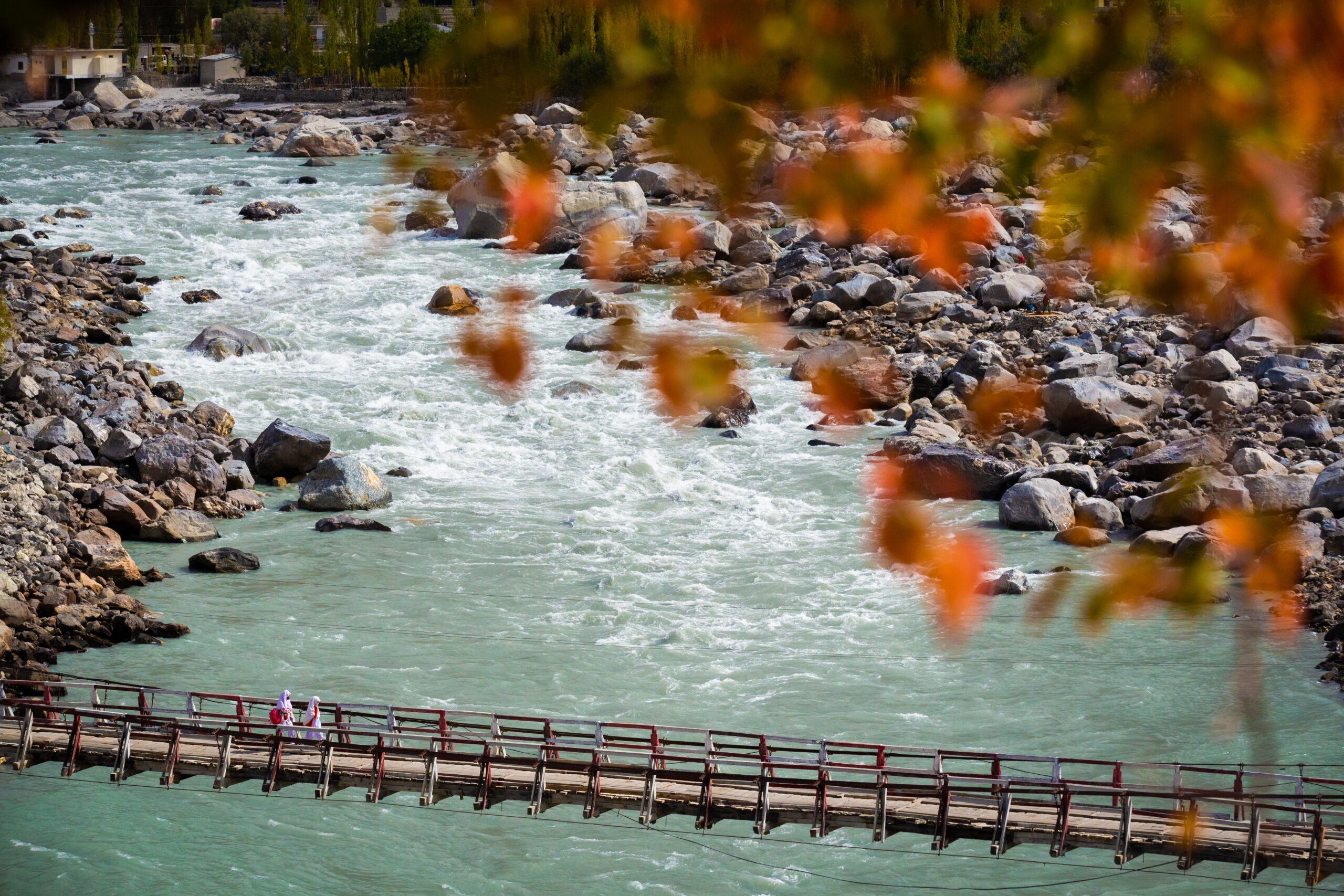
The five rivers of Punjab
| River | Where it fits | Visitor context |
|---|---|---|
| Jhelum | Western tributary of the Indus system | Jhelum region and Mangla reservoir |
| Chenab | Major western tributary | Punjab’s bridges, agricultural landscapes and towns |
| Ravi | Eastern river | Lahore and its surrounding floodplain |
| Sutlej | Eastern river | Southern Punjab and the Panjnad system |
| Beas | Flows in India; joins Sutlej there | Part of historical Punjab’s five-river identity |
Punjab’s name is commonly explained through the Persian words for five and water. Listing the Beas as a river that independently flows through Pakistan is misleading: its connection to Pakistan is through the wider basin and its meeting with the Sutlej in India.
The World Bank’s Indus Waters Treaty fact sheet describes the 1960 allocation framework. This is historical treaty context, not a prediction about current political disputes or daily water availability.
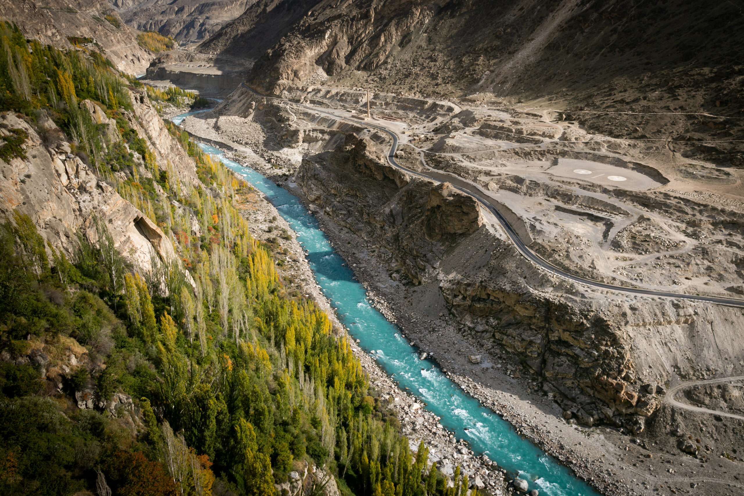
The Indus from mountains to plains
Gilgit-Baltistan and the mountain corridor
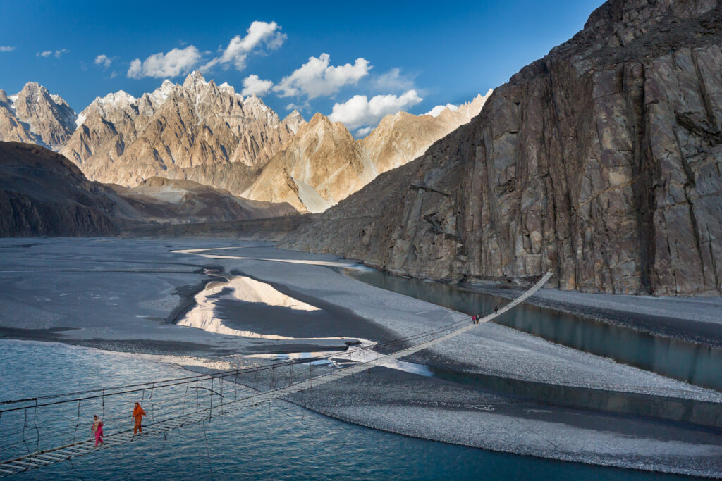
Around the northern road network, the Indus and its tributaries cut deep valleys between major mountain ranges. River viewpoints can help explain the landscape, but road works, rockfall and narrow shoulders make unscheduled roadside stops a poor idea. Ask the driver to use a safe pull-off.
Punjab, Sindh and the delta
Further south, the river system supports farming, settlements and wetlands. The Indus Delta meets the Arabian Sea through a shifting network of creeks. Coastal boating is a different activity from mountain sightseeing and requires local arrangements, suitable weather and attention to tides.
Northern rivers worth recognising
Hunza, Gilgit and Shyok
The Hunza River follows much of the Gilgit–Hunza corridor before joining the Gilgit River system. In Baltistan, the Shyok is important to the Khaplu landscape, while the Shigar drainage links glaciated valleys with the Indus. Their names help distinguish otherwise similar mountain-road photographs.
Swat, Kunhar and Neelum
The Swat River defines much of Swat’s valley floor. The Kunhar belongs to the Kaghan corridor, and the Neelum to Pakistan-administered Kashmir. These are separate journeys with different access rules. Do not confuse the Neelum’s appearance with an assurance that its banks or connecting tracks are safe.
Kabul and the western tributaries
The Kabul River is part of the Indus basin. Western Pakistan also has rivers such as the Hingol, which reaches the Arabian Sea outside the Indus system. Not every waterway in Pakistan should be classified as an Indus tributary.
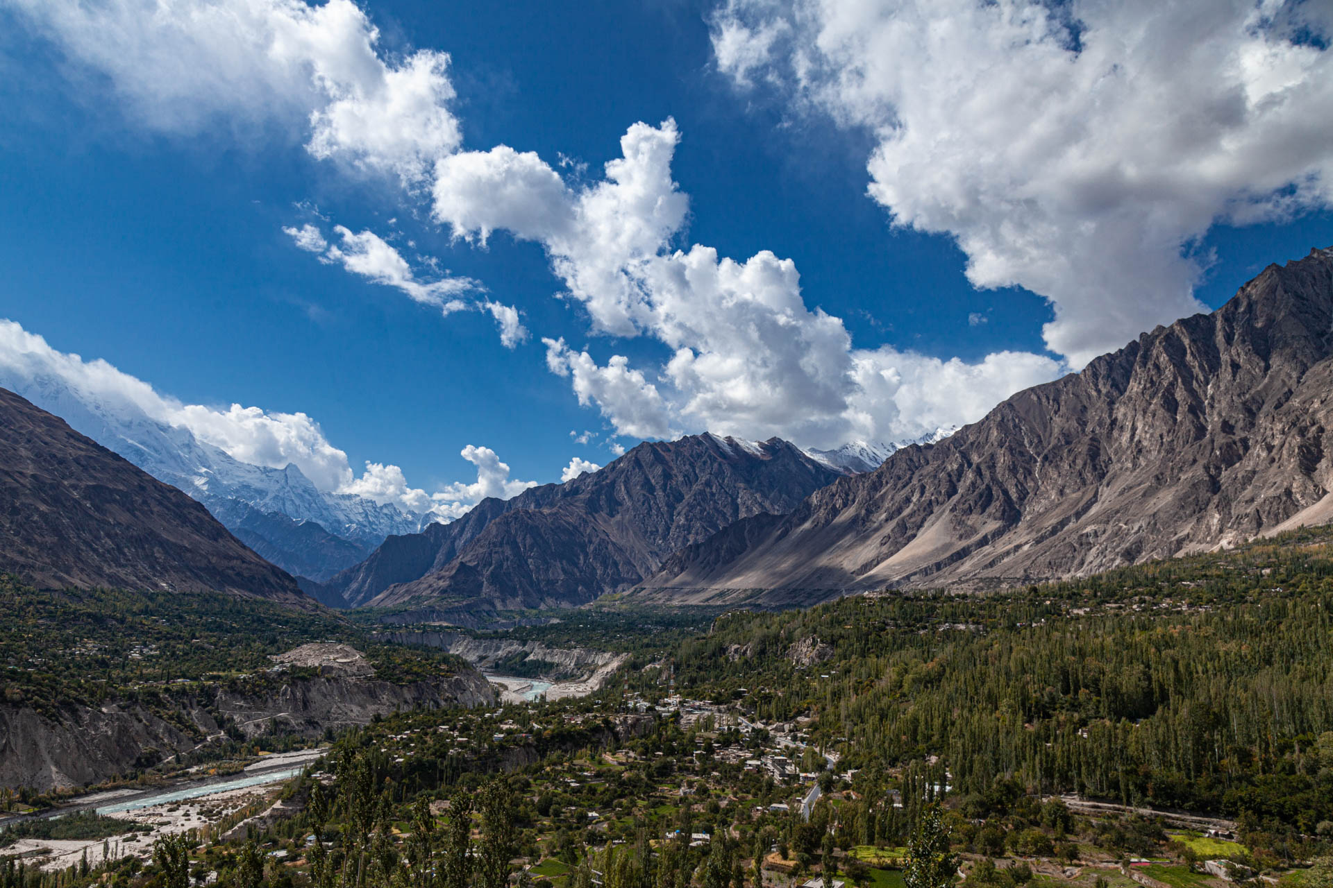
Travel, seasons and responsible access
Build a river journey around overnight bases rather than trying to follow an entire river from source to sea. A Hunza visit, a Baltistan visit and a lower-Indus heritage journey have different transport needs. For northern routes, compare our northern destination guide and glacier guide.
Winter may bring lower flows but also cold, fog and reduced mountain access. Summer melt and monsoon rain can increase flows and damage roads. A dry morning does not establish that a river crossing will remain usable later. Check PMD weather information and local access before departure.
Swimming, rafting and fishing require specific local assessment. Do not wade into unfamiliar channels, cross temporary bridges or use an unlicensed activity provider simply because the river looks calm. Fishing rules and permits vary by area; ask the relevant fisheries authority.
For a southern route, pair river geography with archaeological sites rather than promising unrestricted access to barrages or dams. Some infrastructure has security restrictions. Leave banks clean, avoid wildlife disturbance and keep children away from steep edges.
Frequently asked questions
Which river flows near Lahore?
The Ravi. Its flow and the accessibility of the surrounding floodplain vary, so choose permitted viewpoints with local guidance.
Does the Beas flow through Pakistan?
The Beas flows in India and joins the Sutlej there. It belongs to the five rivers of historical Punjab, not a list of five independent rivers flowing through present-day Pakistan.
Where does the Indus end?
It reaches the Arabian Sea through the Indus Delta in Sindh.
Can I drink water from a clear mountain river?
Do not assume untreated river water is safe because it looks clear. Carry a reliable drinking-water supply and use appropriate treatment when necessary.
People · Places · Purpose
Plan a journey around your interests
Tell us your dates, starting point and preferred pace. We will discuss a private route with realistic travel days and appropriate local support.
Discuss your private journey →Sources and updates
Geographical and historical references are linked below. Suggested pacing and travel allowances are Crossroads planning guidance. Reconfirm road access, permissions, opening times and prices before travel.