Karakoram trekking · Upper Hunza · Pakistan
Trekking in Shimshal Valley ranges from unhurried walks through a working mountain village to exposed trails leading towards Shimshal Pass, high summer pastures and expedition routes over glaciers. The right choice depends on your experience, acclimatisation and time—not simply how impressive a route sounds.
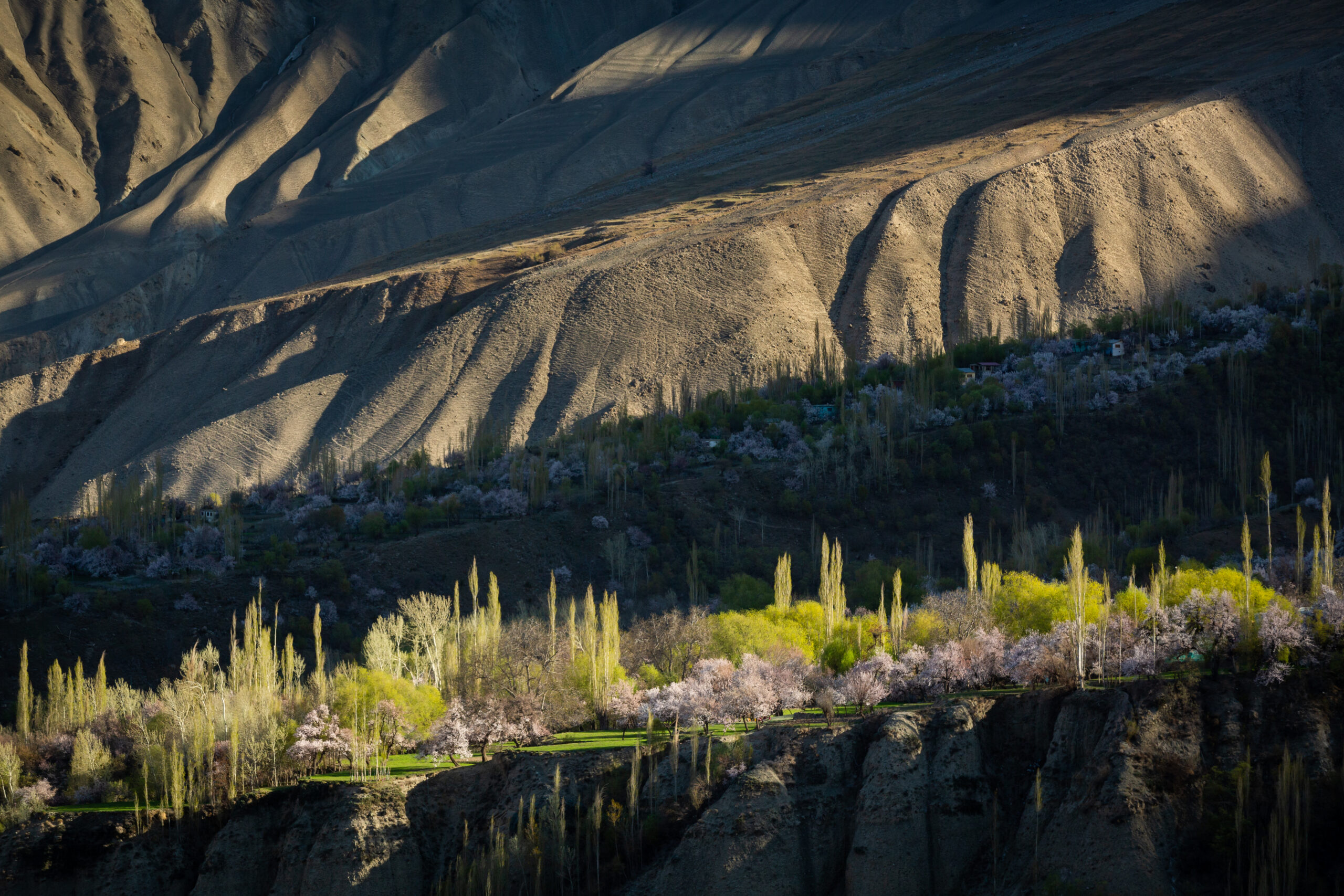
Shimshal lies in Gojal, the Upper Hunza region of Gilgit-Baltistan. Around 3,100 metres above sea level, the village is already a high-altitude destination. Its fields, stone walls and river valley are a rewarding place to spend several days; beyond them, trekking becomes considerably more remote. This guide explains the main options, how they differ, and what you need to arrange before setting out.
Crossroads Adventure editorial guide · Researched 5 October 2026. Elevations are approximate; durations are planning allowances, not guaranteed walking times. Trail, bridge, glacier and road conditions require a fresh local assessment before departure.
Which Shimshal trek is right for you?
For a first visit, choose between a village-based walking stay, a supported glacier-side camping trek and a remote high-pass journey. A climb such as Minglik Sar belongs in a separate mountaineering plan. These categories need different equipment, staffing and emergency arrangements.
| Option | Planning time | Elevation context | Who it suits |
|---|---|---|---|
| Village, field & river-valley walks | 1–3-hour outings, selected with your host | Around 3,100 m; modest local variations | Gentle exploration after acclimatisation; stay on agreed paths |
| Berkut hill / local viewpoint | Allow half a day; turnaround chosen locally | Above the village; exact endpoint varies | Walkers comfortable with uphill, uneven ground |
| Yazghil glacier day approach | Allow a full day for a guide-selected out-and-back | Village start around 3,100 m; viewpoint varies | Fit walkers seeking glacier scenery without committing to an expedition |
| Yazghil pasture / base-camp approach | Typically 3–4 trekking days; longer for more distant objectives | Camp and high-point elevations must be specified for your route | Experienced walkers with a supported camp team |
| Shimshal Pass & Shuwert pastures | Allow roughly 7–9 trekking days, plus acclimatisation and contingency | Pass approximately 4,735 m | Experienced, acclimatised trekkers comfortable with exposure |
| Chafchingol Pass traverse | Roughly 7–10+ trekking days for a standalone traverse; combinations take longer | Pass often reported around 5,100–5,250 m | Experienced expedition trekkers with technical support |
| Khurdopin / Lukpe La / Snow Lake connections | Individually planned expeditions; no standard short-trek duration | Remote glaciated high passes and camps | Specialist teams with glacier travel experience |
| Minglik Sar | Separate climbing and acclimatisation schedule | Approximately 6,050 m | Mountaineers with appropriate skills, equipment and supervision |
If you want shorter, more accessible alternatives elsewhere in the region, compare our guide to short treks in Hunza and Nagar, including Rakaposhi Base Camp and Rush Lake. Shimshal should be chosen for its particular landscape and remoteness, rather than added as a rushed detour.
1. Shimshal village, fields and river-valley walks
The most approachable walking experience starts at your guesthouse. Follow village lanes and permitted field paths, look across irrigated terraces, and explore the relationship between the settlement, its water channels and the surrounding mountains. These are flexible outings, not a single officially marked loop.
What to expect
Paths can be stony, dusty or uneven, with steps and irrigation channels. Some gentle sections are suitable for slower walkers, but accessibility should be assessed individually. A path visible across a field may be private, and a riverbank may be undercut or lead to a damaged crossing. Ask your host to identify an appropriate route and where you should turn back.
How to plan it
Use your arrival afternoon for a short orientation walk only if you feel well, then leave longer exploration for another day. Carry water, sun protection, a warm layer and your guesthouse location. Do not follow livestock trails into a gorge or assume that every bridge is public and usable.
Village walking is also a chance to understand Wakhi mountain life. Ask before photographing people, homes or working areas. Avoid stepping over irrigation channels unnecessarily, entering cultivated land without permission or treating agricultural activity as a staged attraction. Returning to the same guesthouse lets you travel with less luggage and more time for conversation.
2. Berkut hill and locally selected viewpoints
Berkut hill appears in independent firsthand writing as a viewpoint overlooking Shimshal. It offers a different perspective on the settlement and surrounding valley, but it should not be presented as a universally signposted trail with a fixed summit, exact distance or guaranteed walking time.
Ask a Shimshal guide which approach is currently suitable, how much height it gains and whether it includes exposed ground. A lower viewpoint may be the better choice if you have recently arrived at altitude or dislike narrow paths. The reward is the valley perspective, not reaching a predetermined number on an altimeter.
Practical details
Start in settled weather and return before light deteriorates. Wear shoes with dependable traction, take poles if you normally use them, and carry a windproof layer even when the village is warm. There may be little shade. Agree your turnaround time before climbing, and stop earlier if the terrain or your symptoms make continuing unwise.
This is suitable as a second-day outing for walkers already adjusting well to the village elevation. It is not a substitute for the more gradual acclimatisation needed before sleeping at high camps. For background rather than navigation, read the independent firsthand account of Shimshal and Berkut hill by Kamran on Bike.
3. Yazghil glacier: a guided day approach
Yazghil, also written Yazgil or Yazghel, is one of the glacier landscapes associated with Shimshal. For a village-based visitor, the realistic objective is a locally assessed approach or viewpoint, with a return to the guesthouse. That is different from crossing the glacier, reaching a mountain base camp or attempting a pass.
What makes the outing worthwhile?
The interest lies in the transition from the inhabited valley towards glacial terrain: mountain walls, debris-covered ice and the scale of the landscape. How close you can responsibly approach changes with access, water levels and the condition of the moraine. A guide may select a viewpoint well short of the glacier edge.
What you need to know before setting out
- Confirm the exact start and finish, return distance and expected walking hours with your guide. “Yazghil trek” alone is not a sufficient route description.
- Ask whether any section involves a river crossing, unstable moraine, steep exposure or walking on ice. A day viewpoint should not quietly become a technical glacier crossing.
- Carry lunch, drinking water and a treatment method for any planned refill, waterproofs, insulation, sun protection and a headtorch.
- Keep a conservative turnaround time. Starting early is useful, but it does not make an unsafe crossing acceptable.
Do not walk beneath unstable glacier faces, enter ice caves, or step onto debris-covered ice because it resembles an ordinary path. A guide-selected viewpoint is a complete experience in its own right; reaching a particular photograph location is never a reason to ignore conditions.
4. Yazghil pasture and base-camp approaches
A longer Yazghil journey offers camping and more time in the glacier-side landscape. Some plans use pasture camps and return after three or four trekking days; a specific climbing base camp or extended exploration may require more time. The words “pasture trek,” “glacier trek” and “base-camp trek” are not interchangeable.
Define the destination before agreeing a duration
Ask for the named camp locations, approximate sleeping elevations and the mountain or glacier your itinerary actually approaches. Yazghil Sar is a mountain objective; a trek towards a base camp does not include an ascent. Historical expedition reports also describe demanding glacier access in this area, so an old description is not proof that the same line is currently straightforward.
Who should choose it?
This can suit trekkers who want a supported multi-day camping experience without committing to the complete Shimshal Pass journey. You still need confidence on rough ground, the ability to walk consecutive days and tolerance for simple camps. If the proposed line includes glacier crossing, the team must explain its technical requirements and demonstrate relevant experience.
Camping and return arrangements
Agree the guide, porter loads, tents, meals, fuel, water treatment and toilet arrangements in advance. Ask where retreat is possible and how a delayed return affects transport from Shimshal. Carry enough reserve food and fuel for the agreed contingency. A small team cannot rely on finding a shop, a lodge or another expedition at the next camp.
The 2008 Distaghil Sar expedition report held by the Mount Everest Foundation provides useful historical context for the complexity of Yazghil glacier access. It is expedition evidence, not a current walking guide.
5. Shimshal Pass and the Shimshal Pamir pastures
The Shimshal Pass trek is the valley’s best-known sustained trekking journey. The pass is commonly given as approximately 4,735 metres. The route connects Shimshal with high summer grazing country, often described as the Shimshal Pamir, including the Shuwert pastures. Here “Pamir” refers to the local high-pasture landscape; the journey remains in the Karakoram.
The character of the route
Expect gorge travel, repeated climbs and descents, narrow sections above the river and a transition into higher, more open country. Common itinerary names include Ghar-e-Sar, Furzin, Peryen or Arbob Peryen, Shuijerab and Shuwert; spelling and camp choices differ. A familiar-looking camp name is not enough to confirm its position or elevation.
The exposed approach is as significant as the pass altitude. A trekker may be fit enough for a long uphill day yet uncomfortable on a narrow ledge with a serious drop. Tell your guide about this before booking. The route is unsuitable as a first independent trek for someone relying only on a downloaded track.
How long does it really take?
Allow approximately seven to nine days on foot for a supported pass-and-pasture journey, with additional days for acclimatisation, road travel and unexpected delays. A fast local travel time is not a visiting trekker’s schedule. Longer stays in the pastures, changed camps, adverse weather or slower adaptation to altitude can extend the trek.
Do not copy a compressed itinerary that jumps from the village to a much higher sleeping camp without considering your previous nights. Ask your team to lay out the sleeping-altitude progression and explain where additional acclimatisation or a lower camp can be built in. If appropriate staging is not feasible for you, choose a lower route.
Pasture life and photography
The pastures are working landscapes. Access to a hut, food offered by a family or the presence of herders should never be assumed. Leave grazing areas undisturbed, follow local camp guidance, and ask before photographing people or livestock management. Views depend on weather; seasonal lakes and watercourses may look very different from a promotional photograph.
What the standard trek does not include
A Shimshal Pass itinerary does not automatically include Minglik Sar, another pass traverse or a glacier expedition. Adding a 6,000-metre summit changes the nature of the trip. Confirm whether your journey returns by the same approach, includes a side walk, or continues to another valley: each version needs its own timing and risk assessment.
6. Chafchingol Pass: a demanding traverse
Chafchingol, also written Chafchingal, is a much more serious proposition than a village walk. Published elevations vary, commonly falling around 5,100–5,250 metres. Different descriptions also combine different valleys and passes, which explains why advertised trip lengths are inconsistent.
A standalone traverse may be planned over roughly seven to ten or more trekking days, depending on staging and the exact line. Some itineraries approach through the Zardgarbin or Zartgarben valley and the Boisam area, then cross towards Koksil and the Karakoram Highway. Combining this with Shimshal Pass creates a substantially longer journey.
Why it needs specialist planning
Expect remote camps, high-altitude travel and potentially consequential river, snow or glacier sections. Depending on the line and conditions, the team may need ropes, harnesses, crampons, ice axes and appropriate rescue skills. Possessing the equipment is not the same as being trained to use it.
A crossing that is feasible for a skilled, acclimatised team in good conditions may be unsuitable for another group a week later. Before booking, ask for the exact pass line, the guide’s recent experience on it, technical equipment requirements, river-crossing decisions, alternate camps and retreat options. An itinerary should explain these matters before describing the scenery.
Who should consider it?
This suits experienced expedition trekkers prepared for discomfort, delays and a possible change of objective. It is a poor choice for a first camping trek, a tightly fixed return flight or someone who wants to avoid exposed terrain. The guide must be able to cancel or modify a crossing when conditions require it.
Specialist glacier routes and Minglik Sar
Khurdopin, Lukpe La and connections towards Snow Lake
Shimshal also appears in descriptions of remote Karakoram glacier traverses, including Khurdopin and Lukpe La routes associated with connections towards the Snow Lake region. These are separate expedition objectives. They should not be marketed as standard day hikes or straightforward extensions of the Shimshal Pass trek.
Planning needs current glacier information, a precise route, permission checks, technical leadership, crevasse-rescue capability and a substantial contingency. Access and route feasibility can change with glacier movement, snow cover and river conditions. An old expedition account demonstrates that a team travelled a line at a particular time; it does not establish that the line is currently open or safe.
Scientific fieldwork in Shimshal has documented glacier dynamics and outburst-flood concerns. The Karakoram Anomaly Project report is useful background, but its historical assessment must not be presented as a present-day clearance for a trek.
Minglik Sar: approximately 6,050 metres
Minglik Sar is frequently paired with Shimshal Pass in trip descriptions. It is a mountaineering objective at approximately 6,050 metres, requiring a separate plan for acclimatisation, snow and ice conditions, technical equipment, leadership and rescue. Describing a particular line as less technically difficult than another climb does not make it suitable for an untrained beginner.
The American Alpine Club’s expedition reporting places Minglik Sar in the high mountain environment around Shimshal Pass and records nearby high camps. Summit attempts can involve cold, darkness, snow, ice and severe altitude exposure. Participation should depend on demonstrated readiness; reaching the top is never guaranteed.
If your aim is trekking, you can experience the pass and pastures without a summit. If your aim is climbing, ask for a climbing itinerary and equipment list rather than accepting a summit offered as an optional afternoon activity.
Best time to trek in Shimshal Valley
June to September is the main planning window identified by the Gilgit-Baltistan Tourism Department. Actual suitability depends on the route and that year’s conditions. A village stay and a glaciated high-pass crossing should not share an automatic season recommendation.
| Period | Planning implications |
|---|---|
| May and early June | Lower walks may be possible when access permits. High routes can retain significant snow; assess them individually rather than assuming the trekking season has fully opened. |
| Late June to August | The usual period to consider supported high-pasture treks. Snowmelt, river levels, rockfall and storms still influence access and daily decisions. |
| September | A useful period to consider with a capable team, but nights become colder and fresh snow can affect high passes. Build in weather flexibility. |
| October to April | Colder, shorter days and increased snow or ice constraints. Village access and services need confirmation; high routes require specialist winter assessment. |
Temperatures: plan for altitude, not one valley average
A warm, sunny afternoon in the village tells you little about a windy camp above 4,000 metres. For high camping, prepare for nights below 0°C even during the main season and for conditions to become substantially colder during a storm. These are equipment-planning scenarios, not a claim about measured monthly averages.
Ask for a route-specific forecast immediately before departure and agree the sleeping-bag comfort rating with your team. For exposed high camps, a bag with a comfort rating around −10°C may be a starting point for discussion; colder conditions or a mountaineering objective can require substantially more protection. “Extreme” survival ratings are not comfort ratings. Pair the bag with an insulated mat.
Check Pakistan Meteorological Department forecasts and warnings, then combine them with local observations. A forecast for Hunza or Gilgit is regional context, not a precise forecast for a distant pass.
How to get to Shimshal Valley
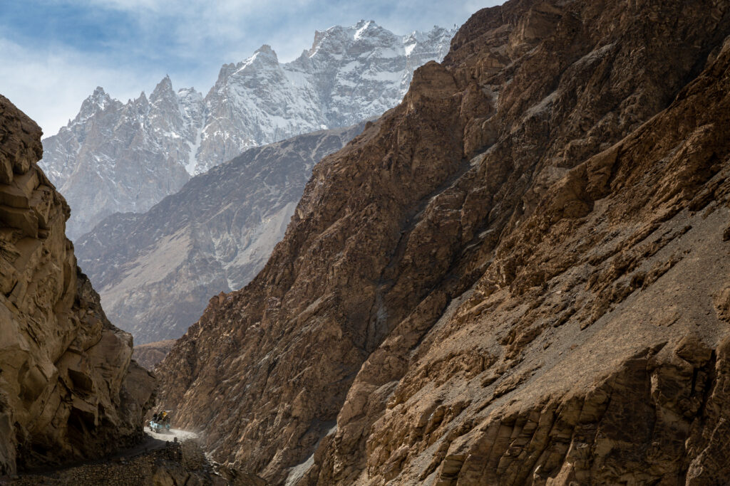
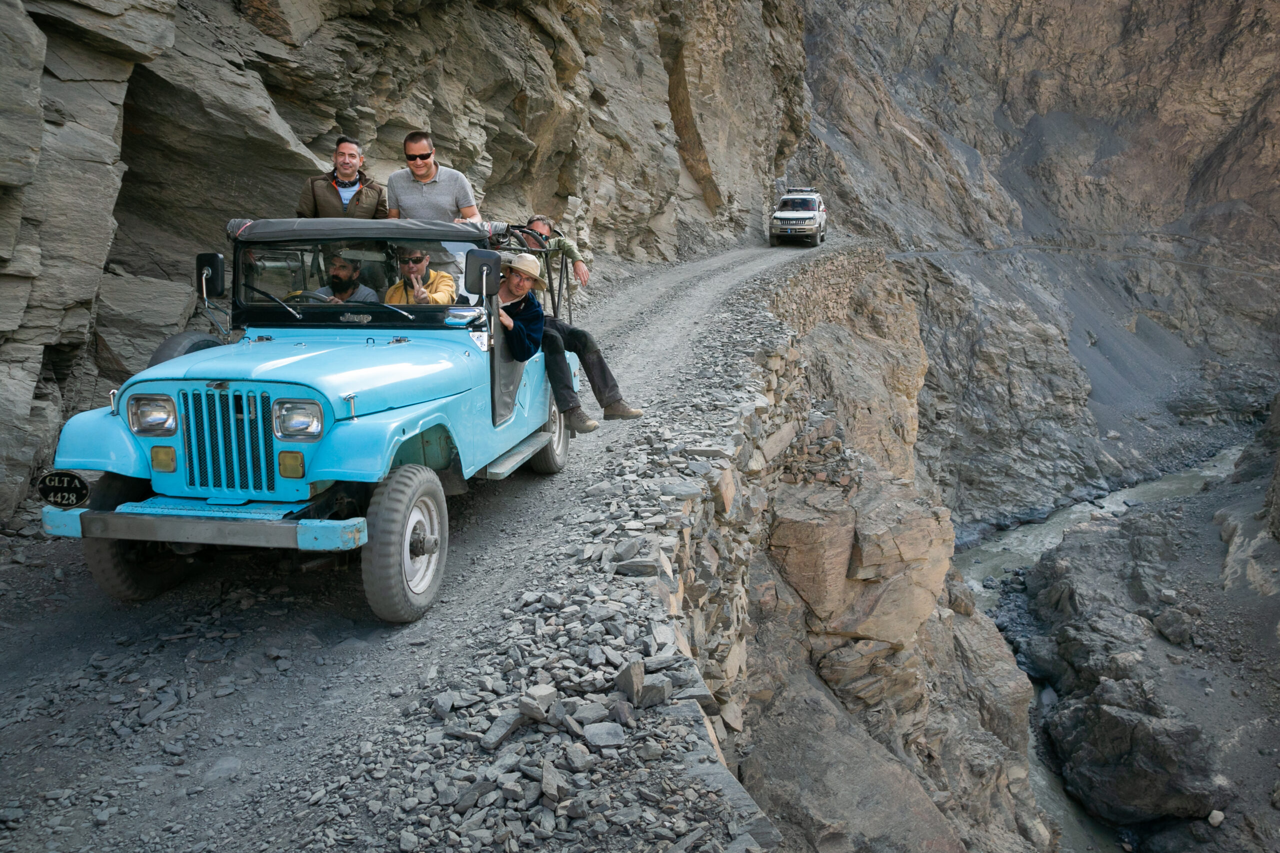
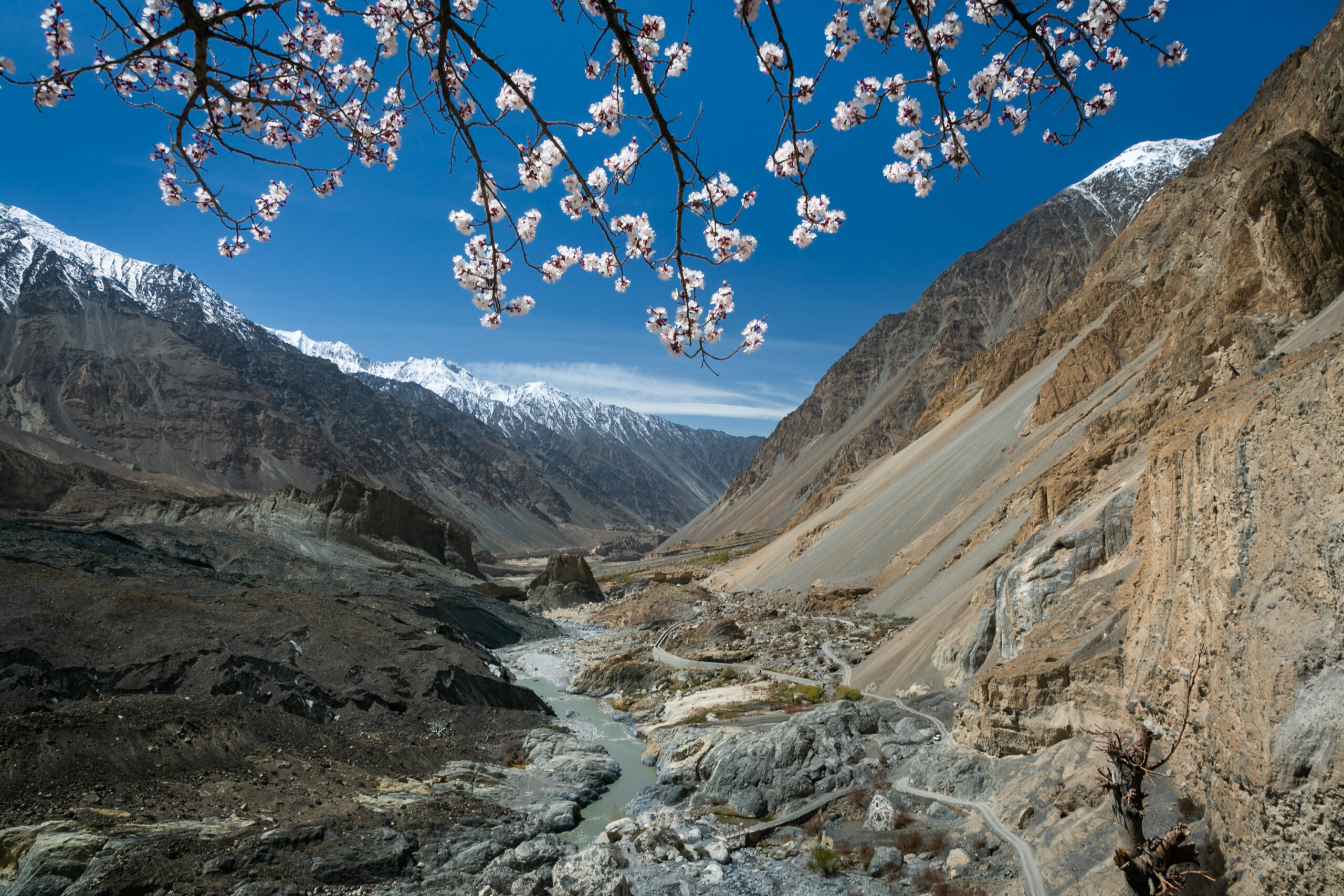
The usual road approach branches from the Karakoram Highway near Passu. The mountain road is roughly 55 kilometres to Shimshal, depending on the start and finish used. The official tourism guidance gives three to five hours for the drive; roadwork, weather, damaged sections and stops can make it considerably longer.
Vehicle and driver
Arrange a suitable 4×4 and a driver familiar with the road. Treat the transfer as its own travel stage, not a minor connector before a long trek the same day. Travel in daylight, check conditions before leaving Passu, and follow the driver’s assessment of closures and safe stopping places. Do not assume a standard rental car is appropriate.
Arrival and onward connections
Confirm your guesthouse, meal arrangements and return transport before entering the valley. Carry essential medication, enough cash and charged devices. For an expedition, check which supplies can genuinely be bought in Shimshal and bring the rest from a larger centre. Add a buffer before flights or other commitments; a vehicle booking cannot guarantee that a mountain road remains open.
Air travel into Gilgit and onward road journeys can also be disrupted. Your complete Pakistan itinerary should include those uncertainties rather than counting every travel day as guaranteed. International visitors can also consult our Pakistan visa guide and verify the requirements applicable to their own nationality and route.
Practical itinerary planning
A village-based walking stay: three or four nights
This works well for travellers who want Shimshal’s landscape without a remote camp trek. Arrive after appropriate staging at lower elevations, spend the first day gently, then choose a viewpoint or glacier approach only if you are well and conditions are suitable.
- Arrival: daylight transfer from Passu, guesthouse check-in, briefing and a short orientation walk if comfortable.
- Gentle exploration: village and field paths, with time to adjust and discuss the next day’s route.
- A selected outing: Berkut or a guide-assessed Yazghil day approach. Choose one according to fitness, weather and terrain.
- Flexible extra day: another modest walk, a delayed outing or rest before the road transfer.
This is an adaptable outline, not a medical acclimatisation prescription. If you develop altitude symptoms, the next stage changes accordingly.
A Shimshal Pass journey: plan the phases first
A realistic plan includes travel into Hunza, lower-altitude staging, arrival and preparation in Shimshal, approximately seven to nine trekking days, and reserve days for road or weather disruption. Longer acclimatisation or pasture stays may be necessary.
The on-foot sequence generally progresses through the gorge approach and intermediate camps towards Shuijerab, the pass and Shuwert, then returns or follows an explicitly planned continuation. Ask your guide to turn this outline into a day-by-day plan showing sleeping altitude, expected walking hours, ascent, descent and escape options. We have deliberately avoided prescribing identical camp jumps for every trekker.
A high-pass traverse or climbing expedition
Chafchingol, a glacier connection or Minglik Sar needs an individual itinerary. The plan should identify technical sections, acclimatisation days, weather reserve, staffing, communications and the conditions under which the objective will be abandoned. A short international holiday with no spare days is a poor match for these objectives.
Altitude, exposure and emergency planning
Acclimatisation starts before Shimshal
The village is already around 3,100 metres. The CDC’s high-altitude guidance recommends gradual ascent, avoiding a direct jump from low altitude to sleeping above 2,750 metres. Above 3,000 metres, sleeping-height gains should generally stay within 500 metres daily, with an additional acclimatisation day for each further 1,000 metres. Fitness does not prevent altitude illness.
Do not ascend with symptoms. Worsening symptoms require descent; confusion, poor coordination or breathlessness at rest need urgent descent and medical assistance. Discuss your health and any preventive medicines with a clinician experienced in altitude travel. Medication does not make an unsuitable ascent schedule safe.
Exposure and objective hazards
Brief your guide honestly about vertigo, prior injuries and experience on narrow trails. Ask how the team will manage damaged paths, bridges, rockfall, loose slopes and water crossings. Never assume a river is safe because someone crossed it earlier. Refusing a crossing or turning around is a normal part of mountain decision-making.
Glacier travel belongs under suitably trained leadership. A GPS track cannot identify a hidden crevasse or prove that an old crossing is still usable. Your team needs current observations and the ability to change its line.
Rescue is a plan, not a promise
Confirm who carries first aid, who makes emergency decisions, how a message reaches the support team and where evacuation can realistically begin. For remote routes, discuss a satellite communication option and any applicable restrictions. Test devices before departure. Mobile coverage must not be the only communication plan.
Check insurance wording for your actual highest altitude, trekking or mountaineering activity, technical equipment use, rescue and evacuation. Ask how emergency costs and authorisations would be handled. A helicopter may be constrained by weather, terrain, availability or permissions; immediate air rescue cannot be guaranteed.
Local guides, camps, food, permits and costs
Build the right team
A local guide adds route knowledge and a relationship with the valley’s people. For remote treks, confirm experience on the exact route rather than relying on a broad claim of Karakoram experience. Technical glacier crossings or summit attempts need appropriately skilled leadership and support.
Agree group size, guide-to-client arrangements, porter loads, staffing, wages, insurance or emergency support for the team, and what happens if one trekker needs to return. Seasonal pasture work and other expeditions can affect availability, so confirm personnel in advance.
Guesthouses and camping standards
Expect simple guesthouses in the village and self-contained camping on remote routes. Confirm room sharing, bathroom facilities, heating, hot water, electricity and charging rather than assuming they are always available. At camp, request a clear specification for sleeping tents, dining arrangements, mats, toilets and waste collection.
Tell the team about allergies and dietary needs before shopping is completed. Ask how drinking water will be treated and where refills are expected. Clear-looking mountain water is not proof of safety, and the next camp may not have the water source shown in an old itinerary.
Permits and nationality-specific checks
Access requirements can depend on nationality, the route, protected areas, border proximity and whether the activity is trekking or climbing. Do not assume that a Pakistan visa is permission for every valley or peak, or that a previous visitor’s paperwork applies to you.
Have your team verify the exact itinerary with the relevant authorities before departure, including registration, permissions and fees where applicable. Use the Gilgit-Baltistan Tourism Department as an official starting point. Keep the required identity and permission documents available for checks.
What should a quote include?
A meaningful quotation should state:
- Passu–Shimshal transport, waiting time, return arrangements and vehicle capacity.
- Village accommodation, meals and any extra nights caused by delays.
- Guide, porter and cook services, equipment, fuel, food and load allowances.
- Permission or registration arrangements and the treatment of relevant fees.
- Communication, first aid and emergency coordination, including what costs remain yours.
- Changes caused by weather, road closure, illness or an abandoned objective; cancellation and refund terms.
There is no dependable universal price for “a Shimshal trek.” Group size, days, route complexity and support standards matter. Compare itemised current quotes rather than a historical per-person figure copied from a travel story.
Leave the valley better cared for
Carry out packaging, batteries and other waste. Follow local sanitation guidance, keep washing and toilet use away from water sources, and do not rely on burning rubbish. Use agreed camps, respect grazing areas and wildlife, and ask permission before entering private land. Pay fairly for local expertise and hospitality.
What to pack and how to prepare
| For village and day walks | Additional needs for remote camping |
|---|---|
| Supportive footwear with grip; comfortable socks; a daypack; sun hat, sunglasses and sunscreen | Route-appropriate sleeping bag and insulated mat; confirmation of the supplied tent standard |
| Warm layer, windproof/waterproof shell, gloves and a head covering | Additional insulation, dry sleep clothing, spare gloves and protected spare socks |
| Drinking water, treatment method, lunch, snacks and any regular medication | Confirmed water treatment, food and fuel plan, with a contingency allowance |
| Headtorch, offline map, charged phone, small first-aid kit and poles if useful | Spare power, emergency communication, group first aid and an agreed evacuation plan |
| Cash and required identification | Route permissions, insurance details and separately specified technical equipment where needed |
For glacier crossings and climbing, obtain an exact equipment list from the responsible guide. Crampons, a harness or an ice axe should not be purchased as decorative reassurance: compatibility, fit, instruction and practice matter.
Physical preparation
Build walking endurance gradually, including consecutive days, sustained climbs and descents, and the footwear and daypack you will use. Practise on uneven ground. Describe your recent walking history accurately so the route can be matched to you. Strength and endurance improve comfort, but they do not replace acclimatisation or technical skills.
Before the final departure briefing
Make sure you can answer five questions: What is tomorrow’s actual route? Where will we sleep? What are the principal hazards? When and why would we turn back? How would we communicate and evacuate? Clear answers are more useful than a reassuring difficulty label.
Shimshal trekking: frequently asked questions
Can beginners trek in Shimshal Valley?
Beginners can consider locally selected village walks after appropriate acclimatisation. Berkut and Yazghil approaches need an individual terrain assessment. Shimshal Pass, Chafchingol and glacier expeditions demand considerably more experience and support.
How high is Shimshal Pass?
It is commonly reported at approximately 4,735 metres. Camp elevations vary with the chosen route and must be checked separately; the pass elevation does not describe your sleeping-altitude progression.
How many days should I allow for Shimshal Pass?
Plan roughly seven to nine trekking days, then add acclimatisation, travel and contingency. Extended pasture stays, changed camps or poor conditions can require more time.
Can I visit Yazghil glacier in one day?
A guided, locally selected approach or viewpoint may be possible as a full-day outing from Shimshal. This does not imply a safe glacier crossing or access to a distant base camp. Confirm the exact endpoint and current conditions first.
Is Minglik Sar included in the Shimshal Pass trek?
Only if explicitly planned as a separate mountaineering objective with appropriate acclimatisation, technical leadership, equipment and support. At around 6,050 metres, it is not an ordinary trekking extension.
Is there a fixed distance for every Shimshal trek?
No. Start points, camps, viewpoints and changed glacier lines affect totals. Ask for an itinerary-specific route map stating whether figures are one-way, return or complete-trip distances.
Can I trek without a local guide?
For remote, exposed or glacier routes, a suitably experienced local team is strongly recommended. Village outings should still be selected with your host. An offline map does not provide current bridge, path or glacier information.
Are there hotels along the high-pass routes?
Plan on self-contained camping beyond the village. Pasture huts and local hospitality are not guaranteed accommodation or resupply services.
Will I have phone signal and charging?
Confirm village services shortly before travelling and expect limitations. Do not rely on mobile reception or charging at remote camps; agree communications and power arrangements in advance.
Is a permit required?
The answer depends on your nationality, exact route and activity. Ask your team to verify current requirements with the relevant authorities before you commit to the itinerary.
Can I combine Shimshal with Hunza and Nagar?
Yes, if the complete itinerary allows enough time for travel, acclimatisation and delays. Compare the different route demands in our Hunza and Nagar trekking guide instead of treating every trek as interchangeable.
A route shaped around you
Plan a considered Shimshal trekking journey
Tell Crossroads Adventure your available dates, walking and altitude experience, comfort with exposure, and whether you want guesthouse-based walks, a supported camping trek or a mountaineering expedition. We can help shape a realistic itinerary with the right local support.
Discuss your trekking plans →Sources and further reading
This guide combines official destination information, independent firsthand writing, medical guidance and historical expedition records. Historical reports establish context; they are not current route approvals. Local checks remain essential.
- Gilgit-Baltistan Tourism Department: Shimshal Valley — destination, road access and seasonal context.
- Kamran on Bike: firsthand Shimshal account — independent context for Berkut and the valley.
- Mount Everest Foundation: 2008 Distaghil Sar expedition report — historical Yazghil access context.
- Mount Everest Foundation: Karakoram Anomaly Project report — historical glacier research in Shimshal.
- American Alpine Club: expedition reporting near Shimshal Pass — high mountain and Minglik Sar context.
- CDC Yellow Book: high-altitude travel and altitude illness — acclimatisation and medical planning.
- Pakistan Meteorological Department — current forecasts and warnings.
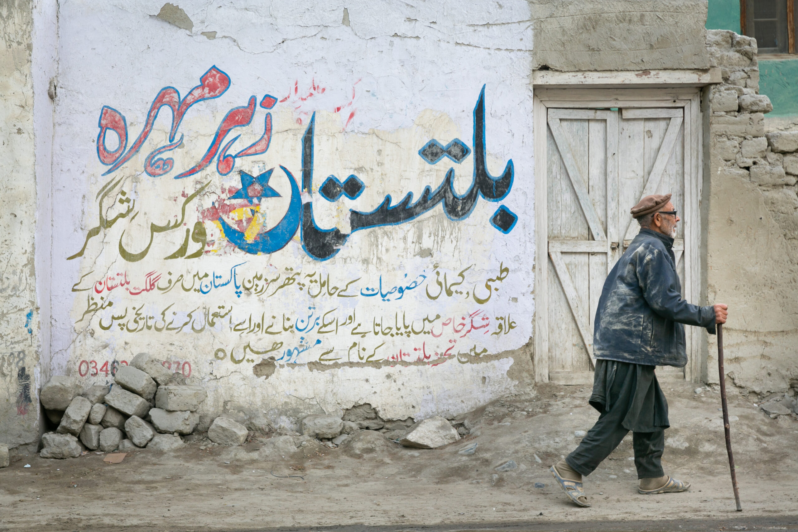
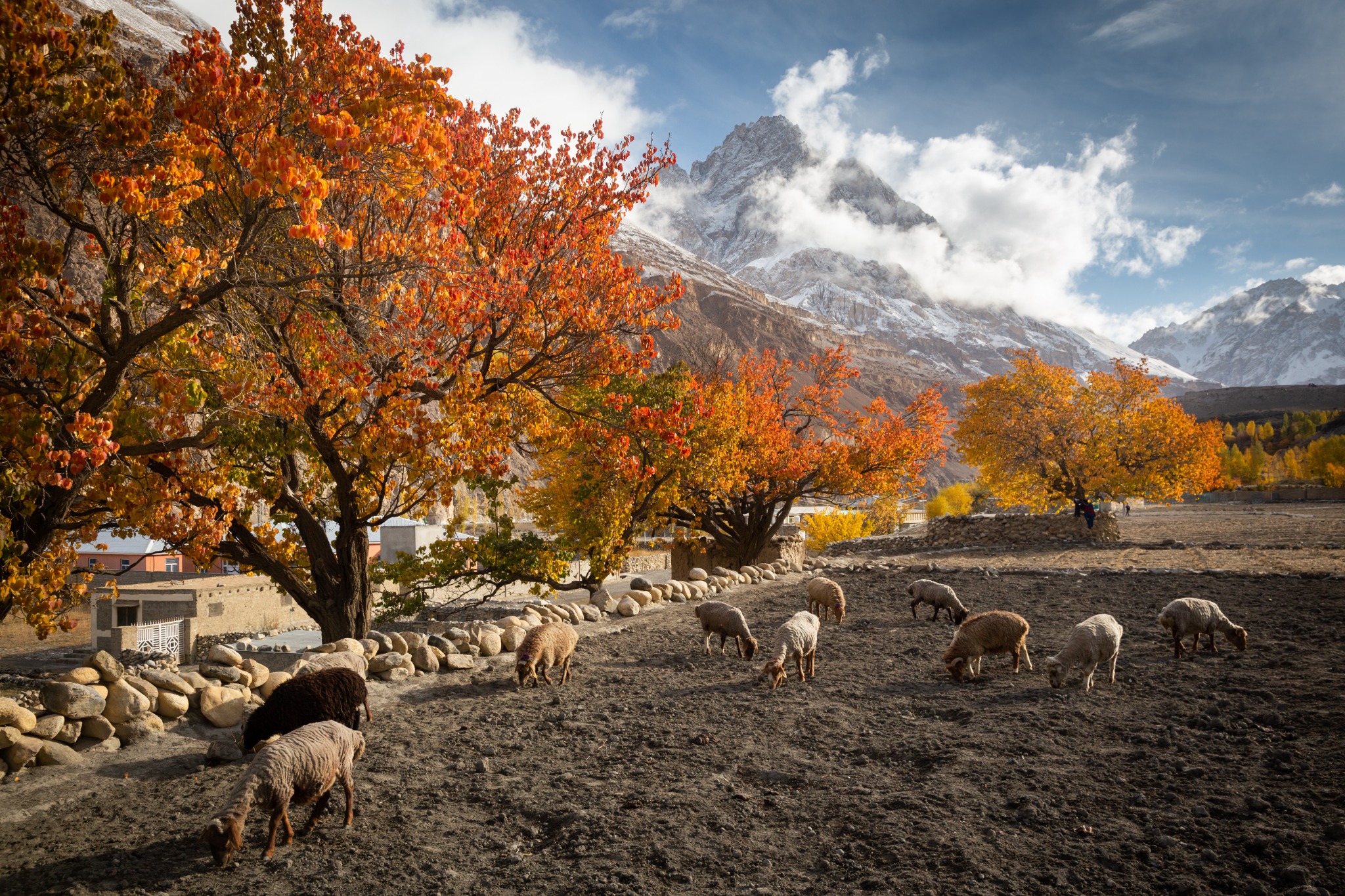
All imagery on this article comes from existing photographic assets in the Crossroads Adventure collection. Approach-road photographs are captioned as such; they are not presented as photographs of remote camps, passes or summits.